
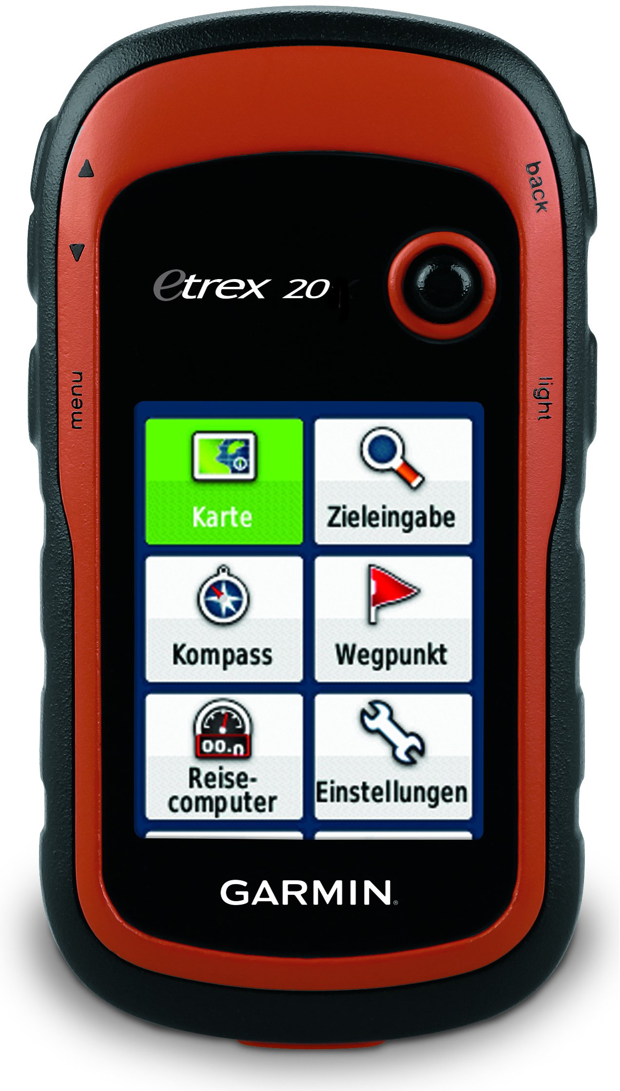
Garmin eTrex 20 Handheld GPS
Product Overview
Garmin eTrex 20 Handheld GPS is a compact, rugged and reliable handheld GPS receiver designed for outdoor navigation, field mapping, surveying and geographic data collection. Its durable design and easy-to-use interface make it suitable for professionals working in different field environments.
The Garmin eTrex 20 features a 2.2-inch color TFT display that provides clear map and navigation information. The high-sensitivity receiver supports GPS and GLONASS satellite systems, helping users obtain reliable positioning information during outdoor field operations.
The device can store up to 2,000 waypoints, 200 routes and 10,000 track points, making it useful for recording locations, planning routes and tracking field movements. It also supports microSD™ memory expansion for additional mapping and data storage.
Powered by two AA batteries, the Garmin eTrex 20 can provide up to approximately 25 hours of battery life. Its IPX7 water-resistant construction makes it suitable for use in outdoor environments where exposure to water may occur.
Key Features
- 2.2-inch color display
- GPS + GLONASS satellite support
- High-sensitivity GPS receiver
- Up to 2,000 waypoints
- Up to 200 routes
- Up to 10,000 track points
- Supports microSD™ card
- Up to 25 hours battery life
- Operates with 2 × AA batteries
- IPX7 water-resistant
- Compact and rugged design
- USB connectivity
- Suitable for field mapping and navigation
- Suitable for surveying and GIS applications
Applications
The Garmin eTrex 20 GPS is suitable for:
- Land Surveying
- Field Survey
- GIS Data Collection
- Topographic Mapping
- Forestry Survey
- Agricultural Survey
- Environmental Survey
- Geographic Data Collection
- Construction Site Navigation
- Route Mapping
- Trekking & Hiking
- Outdoor Navigation
- Field Research
Key Features
Feature information is available on request.
Technical Specifications
Technical specifications are available on request.
Accessories
Accessory information is available on request.